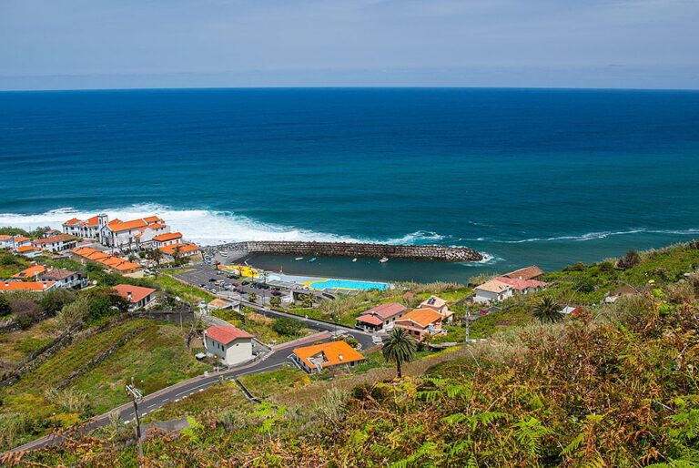
The municipality of Sao Vicente is located on the north shore of Madeira and has a population of approximately 6000 people spread out over an area of 78.70 km2.
So Vicente is known for its lush vegetation and dense woodland, which is shaped by volcanic processes and erosion on its majestic slopes. The little church built into a basalt rock at the mouth of the stream that runs through the village is one of the most distinctive symbols of the charming town of Sao Vicente.
The primary and tertiary industries, mainly agriculture and services, with a focus on tourism, are the mainstays of its economy
The Indigenous Garden, which covers 2,200 m2 and is home to hundreds of species, is located in the center of Sao Vicente.
The Museum Centre Rota do Cal (Lime Route) is located in this parish and consists of a 30-minute foot journey from the limestone quarries to the museum.
We have amazing views of the mountain range that crosses Madeira and several regions of Sao Vicente, including the Laurel Forest, from the Encumeada Belvedere in Ribeira Brava.
A large tract of Laurel Forest may be found in the parish of Sao Vicente. The value of laurel stems from its representation in terms of flora and fauna diversity, as well as its current status of protection. In 1999, UNESCO designated the Laurel Forest as a Natural Heritage Site.
The parishes of Bonaventura and Ponta Delgada make up this municipality.

 .
.